The Bonin Islands, also known as the Ogasawara Islands, are an archipelago of more than 30 islands in the subtropical and tropical region, in addition to 1,000 kilometers (620 mi) directly south of Tokyo, Japan. The name “Bunin Islands” comes from the Japanese word Bunin, meaning that it is an uninhabited area.
About Rin Islands
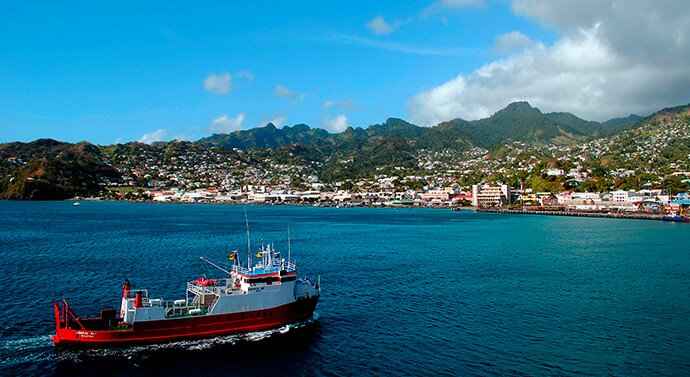
The Ogasawara Islands (小 笠原 諸島, Ogasawara Shoto), also known in English as the Bonin Islands, is a series of volcanic islands, which are located in the Pacific Ocean, about 1,000 km south and administratively are part of Tokyo. The only way to get to these islands is by taking a weekly 25.5 hour ferry ride from Tokyo. There are only two of the largest islands, inhabited by Chichijima (Father Island) and Hahajima (Mother Island).
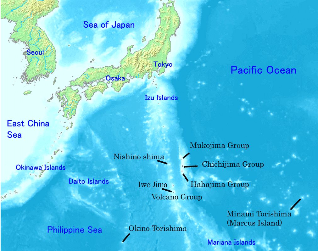
The Ogasawara Islands are an archipelago made up of more than 30 islands in the subtropical and tropical islands, administratively are part of Tokyo but it extends about 1000 km from the city. It was known as the Bonin Islands, which includes many of the fierce battles that took place in the region during World War II, most notably in Iwo Jima.
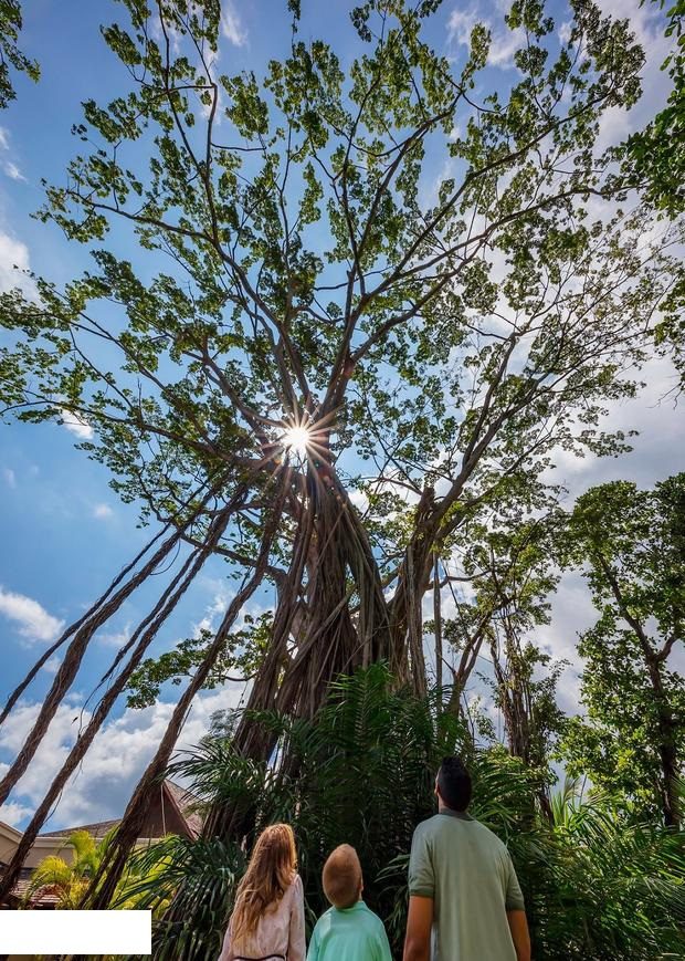
The Ogasawara Islands were added to the UNESCO list of World Natural Heritage sites in 2011 with unique fauna and flora, and therefore it is often called “Galapagos from the East”.
Although the islands are Japanese territory, they were actually settlers from a group of Europeans to include about a dozen indigenous Hawaiians who began living on Chichijima, then known as the Peeling Island, in 1830. Descendants of the original settlers are still there to this day.
geology
The Ogasawara (Bunin) Islands were formed about 48 million years ago. They are part of the Iso-Bonin-Mariana, known geologically as the fore-arc. It is located above the subduction zone between the Pacific Plate and the Philippine Sea Plate. The crust of the Ogasawara Islands was formed at volcanic activity 45-50,000,000 years ago, and most of it is formed of volcanic rocks rich in magnesium oxide, chromium, and silicon dioxide. The Ogasawara Islands may represent exposed parts of the aviolites that have not yet been cultivated in the oceanic crust. Volcanic rocks are much smaller.
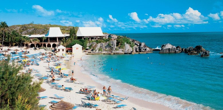
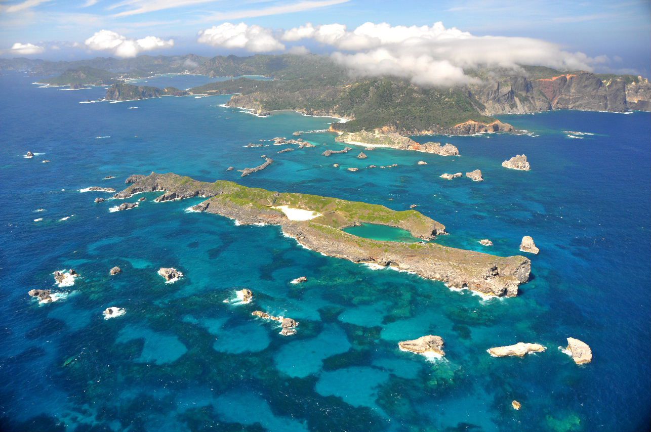
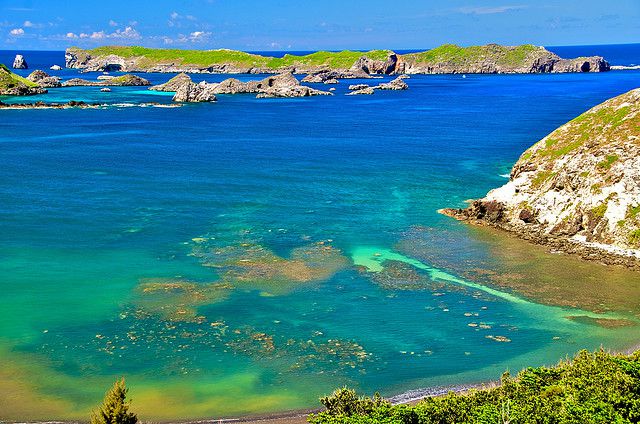
Most of the islands extend over steep beaches with sea slopes that range from 50 to 100 meters (160-330 feet) in length, but it is also a fringed island with coral reefs and has many beaches. The highest point is located to the south of Iwo Jima, at 916 meters (3005 feet).
Geography and management
The Bonin Islands consist of three sub-groups, which are listed below with their main islands:
Muko-jima Group – formerly Parry Group:
Muko-jima;
Yome-jima – formerly Kater I.;
Nakōdo-jima or Nakadachi-jima;
Kita-no-jima;
Mae-jima – formerly the Ears;
Chichi-jima Group – formerly Beechey Group:
Chichi-jima – formerly Main I ./Peel I.;
Ani-jima – formerly Hog I ./Bikeland I.;
Otōto-jima – formerly North I ./Stapleton I.;
Mago-jima;
Higashi-jima
Nishi-jima – formerly Goat I.;
Minami-jima – formerly Knorr I.;
Haha-jima Group – formerly Baily Group or Coffin Islands:
Haha-jima;
Mukō-jima;
Hira-jima or Taira-jima
Ane-jima;
Imōto-jima;
Mei-jima
Geography
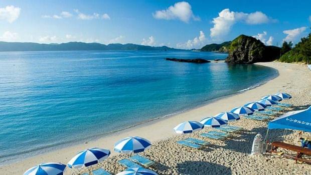
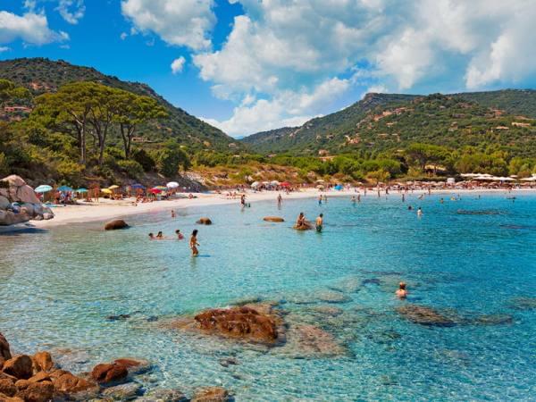
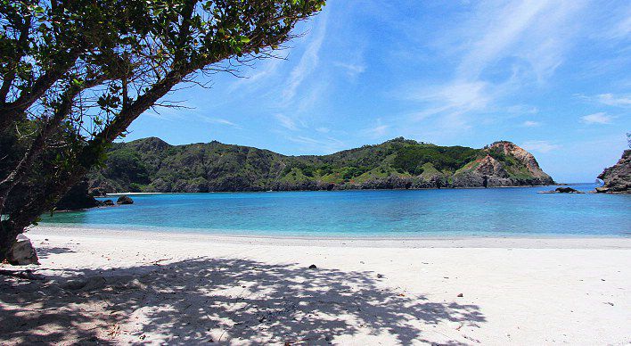
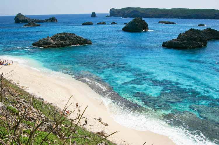
The Ogasawara Islands are located on a similar geographical latitude in Okinawa, in the Ogasawara Islands, which have a subtropical climate with warm temperatures throughout the year. The islands attract many visitors to enjoy relaxing on the beautiful beaches with coral reefs and forests covered in hills, it also offers many outdoor activities such as whale watching, swimming with dolphins, hiking, kayaking, snorkeling and diving.