Tourism in Algiers represents an important tributary of the economy of the state of Algeria, due to its great diversity of elements of tourist attraction, in it the extended coasts and natural beauty of plains, mountains, forests and deserts, scenes and ancient historical neighborhoods, museums, popular markets and modern shopping centers.
Before you go on an unspeakable tourist trip to Algiers, find out where Algiers is located in Algeria ?! Read through this article.
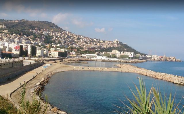
Table of Contents
- Best hotels in Algiers
- Where is Algiers located?
- Where is Algiers located among other cities of Algeria?
- Where is Algiers located from Constantinople?
- The distance between Algiers and Oran
- Where is Algiers from Setif?
- The distance between Algiers and Tlemcen
- The distance between Algiers and Annaba
- Where is Algiers located from Guelma?
- Where is Algiers located from Blida?
- The distance between Algiers and Setif
- The distance between Algiers and Batna
- The distance between Algiers and Djelfa
- The distance between Algiers and Chlef
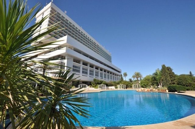
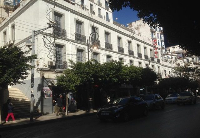
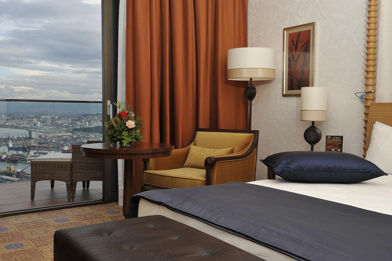
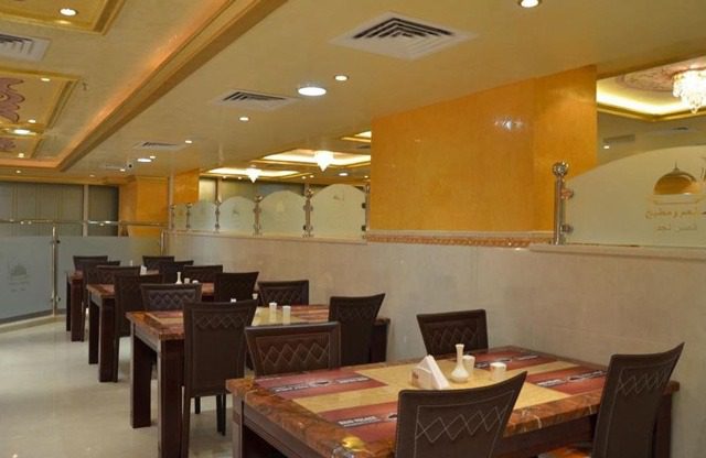
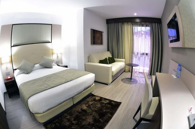
Best hotels in Algiers
The city of Algiers includes many of the most famous branches of international hotel chains, and it also owns a group of authentic heritage hotels, most of which have won the approval and acceptance of Arab visitors for its luxury and diversity, you can get to know the best hotels in Algiers in the capital by visiting the following link .. Read More
Where is Algiers located?
The city of Algiers is located in the center of the Algerian state, and it tends more to the north with a sparkling view on the western bank of the Gulf of the Mediterranean. The city was constructed of two parts over the foothills of Jabal Bouzarea, the old part known as the Kasbah, which was founded on the hills of the western end with an estimated height of about 150 meters, The talk is an expansion of the city to the northwest, above the foot of Jebel Bouzarea, with an estimated height of about 400 meters.
Where is Algiers located among other cities of Algeria?
Considering that the city of Algiers is the political and economic center of the state, it is connected and approached by many important Algerian cities, such as Constantinople, Oran, Setif and Tlemcen, and in the following lines we explain where Algiers is located and the distances and routes of access from the center of Algiers to these cities and vice versa to enjoy a fun and distinctive tour Algerian lands.
Where is Algiers located from Constantinople?
Algiers is 416 km from Constantinople, which equates to 4 hours 45 minutes when traveling by car via the East-West Highway, which is the fastest route shown on the map.
While the distance between the two cities is no more than 50 minutes by flying through Algerian Airlines, Tassili Airlines, which provides 4 to 7 flights per day non-stop.
The distance between Algiers and Oran
Algiers is 405 km from Oran, which equals 4 hours 18 minutes when traveling by car via the East-West Highway, which is the fastest route shown on the map.
While the distance between the two cities is no more than 1 hour by flying via Air Algerie, Tunisian Airlines, which provides 5 to 7 flights per day non-stop.
Where is Algiers from Setif?
Algiers is 268 km from Setif, the equivalent of 3 hours 17 minutes when traveling by car via the East-West Highway, which is the fastest route shown on the map.
The distance between Algiers and Tlemcen
Algiers is 50 km from Tlemcen, which equates to 5-hour drive 13 minutes via the East-West Highway, the fastest route shown on the map.
The distance between Algiers and Annaba
Algiers is 569 km from Annaba, the equivalent of a 6-hour drive 26 minutes via the East-West Highway, the fastest route shown on the map.
While the distance between the two cities is not more than 1 hour by flying via Air Algerie, which provides 5 to 6 flights per day non-stop.
Where is Algiers located from Guelma?
Algiers is 488 km from Guelma, which equates to 6-hour drive 6 minutes via the East-West Highway, which is the fastest route shown on the map.
The distance between the two cities is no more than 1 hour by flying via Air Algerie, which provides 5 to 6 flights per day non-stop.
Where is Algiers located from Blida?
Algiers is 38.8 km from Blida, the equivalent of a 46-minute drive via the East-West Highway, the fastest route shown on the map.
The distance between Algiers and Setif
Algiers is located 268 km from Setif, the equivalent of a 3-hour 20-minute drive via the East-West Highway, which is the fastest route shown on the map.
The distance between Algiers and Batna
Algiers is 399 km from Batna, the equivalent of a 53-hour 14-minute drive via the East-West Highway, the fastest route shown on the map.
The distance between Algiers and Djelfa
Algiers is away from Djelfa, 294 km away, which equates to 3 hours’ drive travel 56 minutes via the national road, one of the fastest route shown on the map.
The distance between Algiers and Chlef
Algiers is 200 km from Chlef, the equivalent of a 2-hour drive by 23 minutes via the East-West Highway, the fastest route shown on the map.
The distance between the two cities increases to 240 km, which equates to traveling by car for 4 hours 40 minutes via the Rocade Tipaza route
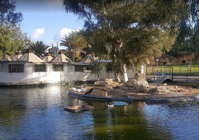
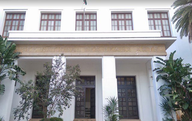
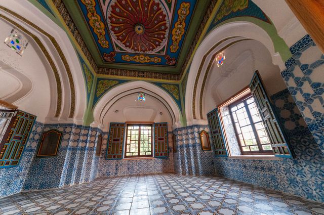
There are many interesting tourist attractions in the city of Algiers, such as the old city, the place of martyrdom, the Grand Mosque, Aquafortland, the Hama Botanical Garden, and other places and activities that you can learn more about by visiting the following link .. Read more