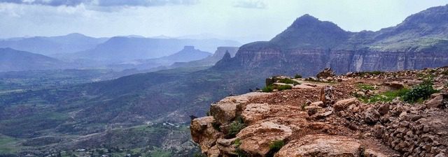
Although not a coastal country, the Republic of Ethiopia is one of the charming countries of Africa, but it has other natural ingredients that make it a great option for a tourist holiday.
Spreading on the territory of Ethiopia the growing green areas interspersed with wild animal diversity in all its forms, with open gardens that you will enjoy visiting inside open cars, and the country also has natural waterfalls, lakes and other elements that make the tourism experience in Ethiopia a unique and unique experience.
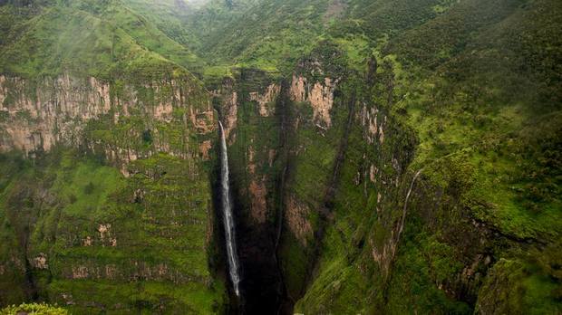
Table of Contents
- Where is Ethiopia located on Google Map
- Where is Ethiopia located and how to travel to it
- The distance between the most important cities of Ethiopia on the map
- The distance between Addis Ababa and Harar
- The distance between Bahr Aldar and Gondar
- Where is Exum located from Awasa?
- Where is Konso located from Arba Mench
- Where is Addis Ababa located from Bahr Dar
- Where is Addis Ababa located from Gondar?
Where is Ethiopia located on Google Map
Ethiopia is located in the Horn of Africa, bordered by the states of Djibouti and Somalia, to the east by the State of Eritrea, and by the northwest by Sudan, to the west by South Sudan, and to the southwest by Kenya.
Where is Ethiopia located and how to travel to it
After we answered a question where is Ethiopia located, another question comes up, how can you travel there? The answer is that Ethiopia grants citizens of 36 countries around the world the ability to obtain an entry visa after they arrive in the country for payment of some fees, and that all residents of the African continent are also allowed to enter without a visa.
The distance between the most important cities of Ethiopia on the map
During the next few lines, we will learn about the distances between the most important cities of Ethiopia and each other.
The distance between Addis Ababa and Harar
Harar is 517 km from the capital Addis Ababa. You can drive them in 8 hours and 55 minutes via the route shown on the map, or by plane in just 50 minutes.
The distance between Bahr Aldar and Gondar
Gondar is 174 km from Bahr Al Dar, and you can drive it by car within 3 hours and 5 minutes via the path shown on the map.
Where is Exum located from Awasa?
These two cities are 1,274 kilometers from each other, which you can drive in approximately 19 hours by car via the route shown on the map, or 3 hours and 45 minutes by plane.
Where is Konso located from Arba Mench
The city of Arba Mench is 90.8 km from the city of Conso, which you can drive by car within two hours and 5 minutes on the highway shown on the map.
Where is Addis Ababa located from Bahr Dar
Bahr Dar is 495 km from Addis Ababa, and you can drive it in approximately 9 and a half hours by car via the path shown on the map.
Where is Addis Ababa located from Gondar?
Gondar is 662 km from the capital Addis Ababa. It takes 12 and a half hours drive along the route shown on the map.
At the end of this quick tour, we will be introduced to where Ethiopia is located and the distances between the main cities, if you want to know more about tourism in Ethiopia you can visit our website by clicking on the following link .. Read more