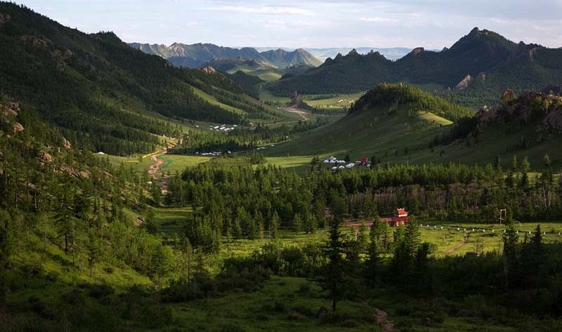
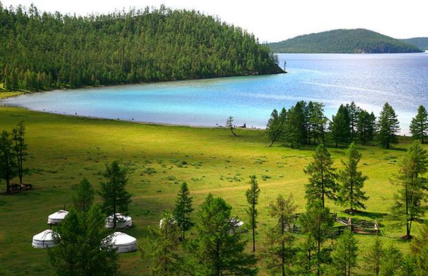
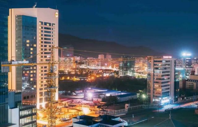
Tourism in Mongolia represents sailing in an extended space of magical nature in which the earth is connected with the sky, as Mongolia is the second largest landlocked country in the world after Kazakhstan, and despite this, it has a unique tourist charm with its own continental climate, a picturesque nature in which the plains and mountains blend And rivers, as well as living and entrenched Bedouin culture.
So we will be your guide on your travel and answer all your questions about where is Mongolia located? How can the travel visa be obtained and the distances between the most important cities in it?
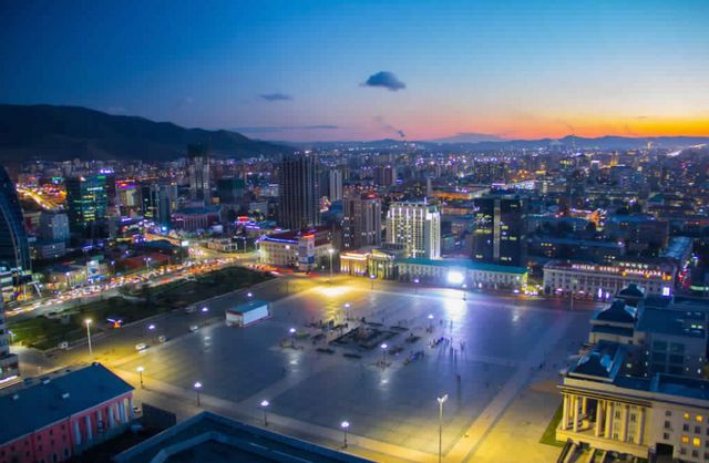
Table of Contents
- Best Mongolia hotels
- Where is Mongolia located on the map?
- How to travel to Mongolia
- The distance between the most important cities of Mongolia
- Where is the Drakhan-Wall district of Ulaanbaatar?
- Where is Zonmud located from Ulaanbaatar
- The distance between Erdenet and Tsestreleg
- Where is Qaraquram located from Arhanghai?
- Where is Dalanzagad from Mandalgofi?
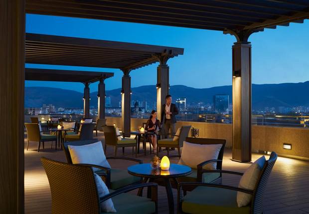
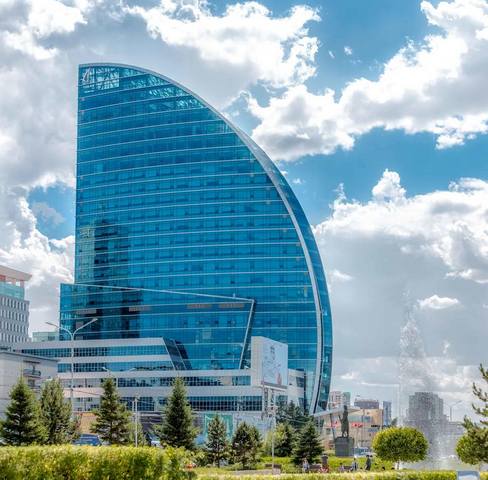
Best Mongolia hotels
The spirit of nomadic life cast a shadow over the variety of hotels there, including branches of international luxury chains, which makes the residence there charm and unparalleled elegance, in addition to the multiplicity of hotel level that allowed a great diversity of prices, and below we will display a list of the best hotels in Mongolia, according to Arab visitor reviews and opinions .. Read more
Where is Mongolia located on the map?
Mongolia lies in Central Asia, and shares its northern borders with the State of Russia, while its southern, eastern and western borders separate it from the State of China. Below we will display the map of Mongolia and where the country of Mongolia is located specifically on Google Maps:
How to travel to Mongolia
It is easy to obtain a tourist visa to Mongolia, as it does not take more than three weeks from the moment of submitting the required documents such as passport, personal photos, visa application form, visa fees, hotel reservation confirmation, and a list of desired destinations, and the duration of tourist visas ranges between 3 to 6 months.
The distance between the most important cities of Mongolia
After we got to know where Mongolia is located, we will know below what is the most important and most important city of Mongolia and how to travel and move amongst them while supporting you with maps showing the shortest way in kilometers and the best means of transportation.
Where is the Drakhan-Wall district of Ulaanbaatar?
The distance between the cities of Drakhan-Wall and Ulaanbaatar is estimated at 260 km, equivalent to 4 hours 4 minutes by car, via the fastest route shown on the map.
Where is Zonmud located from Ulaanbaatar
The distance between the town of Zonmod and Ulaanbaatar is estimated at 42.4 km, which is equivalent to 46 minutes by car via the fastest route shown on the map.
The distance between Erdenet and Tsestreleg
Erdenet is from Tesserlegg 366 km, equivalent to 6 hours 13 minutes by car, via the fastest route shown on the map.
Where is Qaraquram located from Arhanghai?
Qaraqurum is 200 km from Arhanghai, which is 3 hours’ drive across the fastest route shown on the map.
Where is Dalanzagad from Mandalgofi?
Dalanzagad is Mandalovi, 314 km, equivalent to 4 hours 7 minutes by car, via the fastest route shown on the map.
If you still have some questions and inquiries about where is Mongolia located or how to travel to Mongolia? You can write your inquiry in the comments box below to answer it as soon as possible, and to find out the most beautiful places of tourism in Mongolia you can follow us on our website .. Read more