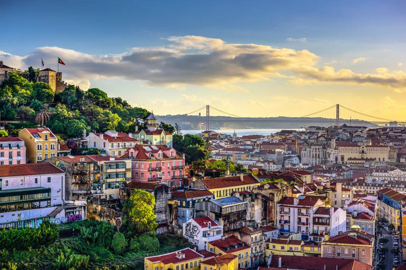
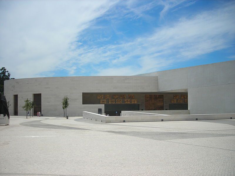
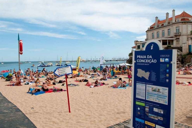
Portugal has all the ingredients that make it a well-deserved tourist country, as it is distinguished by its charming nature and wonderful climate, in addition to the numerous attractions that tourists come from from all directions.
In the next report, we will answer some important questions about tourism in Portugal, we will get to know you where Portugal is, how to obtain a travel visa to it and the distances between the most important cities in it.
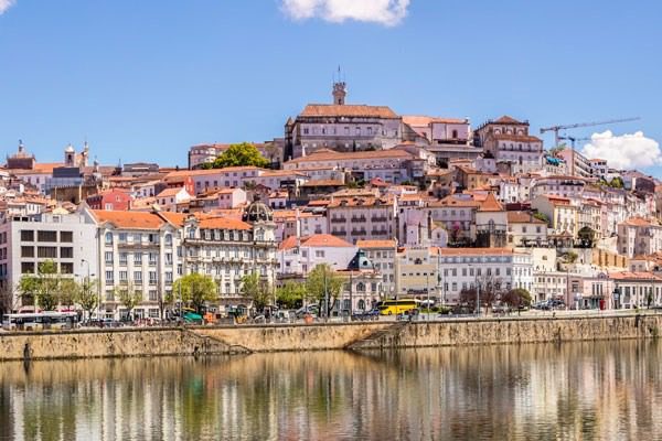
Table of Contents
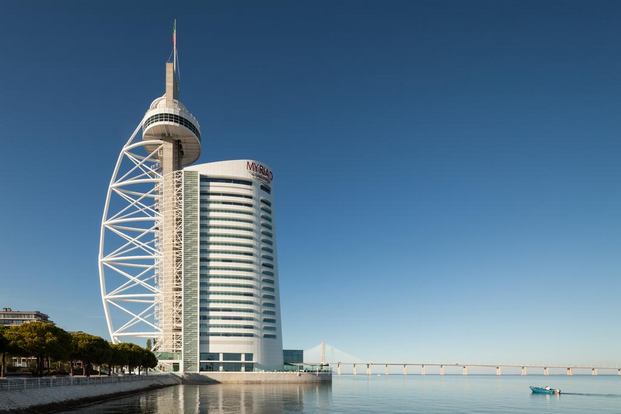
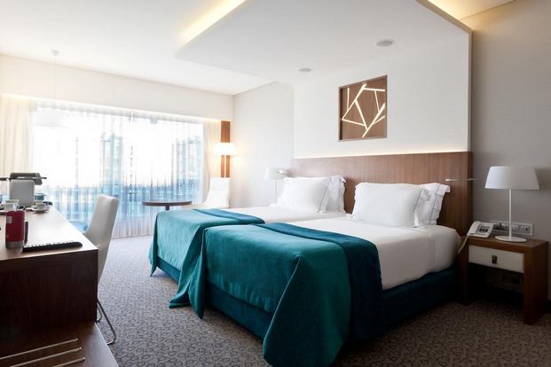
Top hotels in Portugal
Portugal has a large group of luxury hotels, which were able to obtain thousands of reviews by guests who have stayed in them, due to the high-quality services and various facilities provided.
Where is Portugal located on the map:
The country of Portugal is located in the Iberian Peninsula, on the southwestern side of the European continent, on the coast of the Atlantic Ocean, bordered to the north and east by the State of Spain, and it is its only neighbor.
The following map shows where Portugal is located specifically on Google Maps:
How to travel to Portugal:
Citizens of all Arab countries need to obtain a Schengen visa to travel to Portugal with the exception of citizens of the United Arab Emirates, who can enter Portugal and all Schengen countries without the need to obtain a visa in advance.
And if you are wondering about what is the Schengen visa and how it can be obtained and all the Schengen countries you can follow this guide on our website … Read more
Distances between the most important Portuguese cities:
After we got to know where the country of Portugal is located, we will find out below where Portugal is one of the most important tourist cities in Portugal, such as the capital, Lisbon and Sintra, and the famous cities of Boruto and Aveiro, and the distances between them.
The distance between Lisbon and Porto
The distance between the Portuguese capital Lisbon and the city of Porto is about 312 km, according to Google Maps, and that distance can be covered in three hours, approximately five minutes by car or 55 minutes by plane via direct flights.
The distance between Aveiro and Lisbon
The shortest distance between the two faces is about 253 km, and they can be moved by car in two hours and 30 minutes via the path shown on the map below or by bus in two hours and 24 minutes.
The distance between Porto and Sentra
The distance between the two cities is 332 km, i.e. almost a 3-hour walk by car or 55-minute flight by direct flight.
The distance between Aveiro and Porto
The distance between the two cities is only about 74 km, and can be traveled in approximately 1 hour and 4 minutes by car or 55 minutes by bus.
The distance between Sentra and Aveiro
Aveiro is two and a half hours away from Sintra by car, with a distance of about 265 km between them on the shortest path connecting them, shown on the map below.
Do you have any other questions or inquiries about where Portugal is located or how to travel to? Please write your question in the comment box below to answer you as soon as possible. To see the most amazing places of tourism in Portugal, you can follow the following article on our website .. Read more