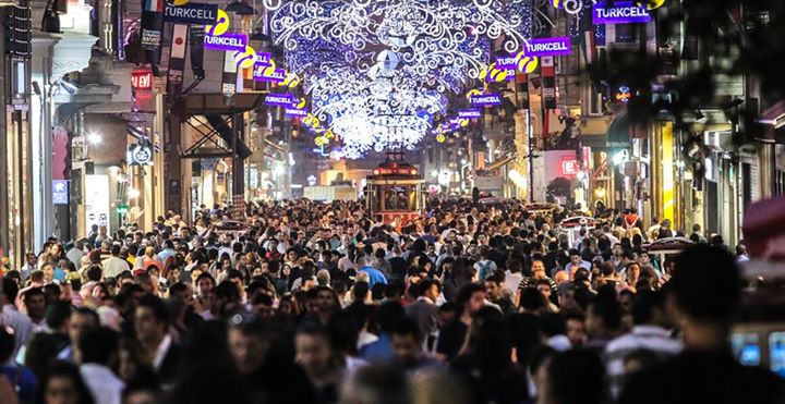
The Başakşehir region is one of the most famous tourist areas in Istanbul, which includes a large number of entertainment centers, open parks, Olympic venues and many options of restaurants and cafes, in addition to various hotels and resorts, so it is one of the most important tourist areas in Istanbul.
In the next report, we will help you find out exactly where is located in the famous Basaksehir and how to reach it with the help of different means of transport within the city of Istanbul.
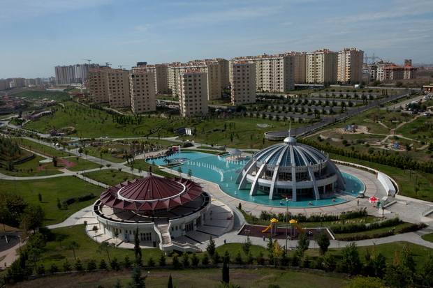
Table of Contents
Where is the famous Basaksehir located on the map?
The Directorate of Başakşehir is located on the European side of Istanbul, bordered to the northwest by the Salasdere Dam, and to the south by the Sea of Marmara.
In the following link, we display the Başakşehir site on Google Map
How to reach Basaksehir
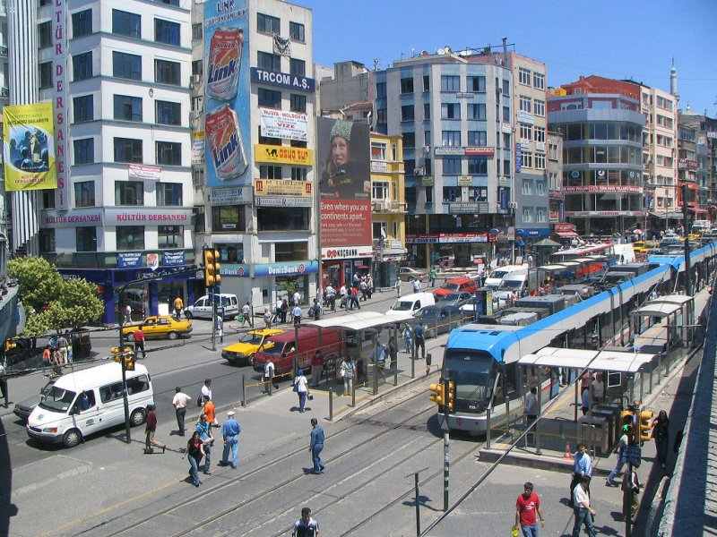
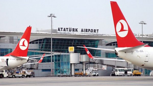
In the Başakşehir region, there is a bus station that connects it with all parts of Istanbul, and you can reach the area with the help of the subway from Ataturk Airport, the Marmaray Line connecting the Asian and European continents, or from other areas such as Taksim, Besiktas and Majidiye Koy.
The distance between the city center of Istanbul and the Basaksehir Directorate is 21.7 km across the path shown in the map below. You can drive in less than half an hour by car.
The most important activities in Basaksehir
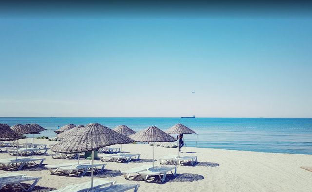
You can practice a large number of activities in the Basaksehir area, the most important of which is visiting the various stadiums at the head of which are the Olympic Stadium, or enjoy watching the Marmara Sea water, or have a local lunch in one of the restaurants spread in the region.