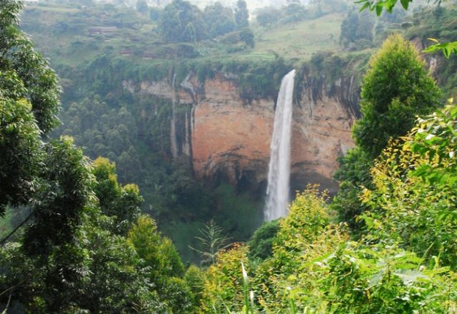
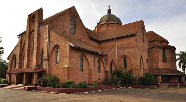
Uganda is one of the most beautiful countries in Africa, where its thick foggy forest, its snow-capped mountains, and its charming glass lakes, it is no wonder that it is called the pearl of Africa. Thousands of tourists worldwide.
If you want to visit the land covered with green shadows and wonderful landscapes and stroll among the vast forests, you must have some questions, and to start with the most important, where is Uganda located on the map? What are the most important cities of Uganda? How many distances between each city?
To answer these questions and know all the details, go with us in the following lines to be a guide for you during your trip.

Table of Contents
- Where is Uganda located on the map?
- How to travel to Uganda
- The distance between the most important cities of Uganda
- Where is Kampala located from Jinja?
- Where is Entebbe located from Kisuru?
- How much is the distance between Lyra and Gulu
- Where is Kumi located from Njiro
- Where is Mbali located from Baliza?
- Where is Entebbe from Kampala located?
- Where is Lira located from Njiro?
- How far is Gulu from Jinja?
Where is Uganda located on the map?
Uganda is located in the eastern part of the continent of Africa, bordered to the east by the State of Kenya, southern Sudan to the northern side, while bordered to the west by the Congo, and Tanzania to the south, and located in the southwest of the state of Rwanda, and the English and Swahili is the official country.
Here is a map showing where Uganda is located specifically on the world map:
How to travel to Uganda
Holders of entry visas to Uganda can allow any foreign person to travel to the countries of Kenya and Rwanda or vice versa without the need to obtain an entry visa. Also, some other countries, including Arab countries, can request the visa upon arrival in Uganda in addition to a passport that is valid for at least six months, with an attachment A copy of it, and the visa application form and two personal photos with a white background are filled out.
The distance between the most important cities of Uganda
After we know where Uganda is located, we will know below what the most important cities of Uganda are located on the map and the distances between each city and other means of transportation available, the following are the most important cities with attached maps showing the distance in kilometers.
Where is Kampala located from Jinja?
The distance between Kampala and Jinja is 82.1 km, approximately two hours and 23 minutes. Travel by car and take the fastest route shown on the attached map.
Where is Entebbe located from Kisuru?
The distance from Entebbe to Kisuru is approximately 485 km, which equals 8 hours and 7 minutes by car.
How much is the distance between Lyra and Gulu
The distance between the two cities is about 101 kilometers, which is approximately one hour and 38 minutes, and you can travel the distance by your car.
Where is Kumi located from Njiro
Komi is 169 km from Njiro, which is about 3 hours and 8 minutes’ travel by car. To find out more about the available routes, you can see the attached map.
Where is Mbali located from Baliza?
Mbali is approximately 69.6 km from Balisa, the equivalent of 1 hour and 17 minutes by car.
Where is Entebbe from Kampala located?
The distance between the two cities is calculated at about 40.3 km, which is approximately 54 minutes of private car travel.
Where is Lira located from Njiro?
The distance in Kira between Lira and Negro is approximately 391 km, equivalent to about 5 hours and 53 minutes. You can travel the distance by your car and follow the path shown in the map attached below.
How far is Gulu from Jinja?
The distance from Gulu to Jinja City is about 387 km, which is approximately 5 hours and 44 minutes travel using your private car.
Related topics:
The 7 best tourist destinations in Kampala Uganda

