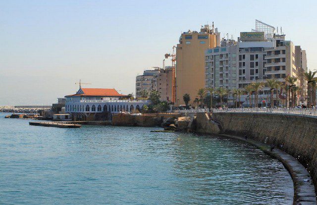
The city of Beirut is filled with tangible vitality and energy that is reflected on it through its wonderful location. Martyrs Square and others.
If you plan to travel soon to the Lebanese capital, which does not sleep, you must know the most important details that help you pass your trip and enjoy visiting its monuments, we will know together where is Beirut? How far is it from the most important cities near it and what transportation is available in the next report?
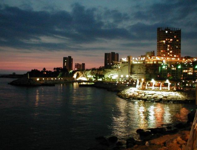
Table of Contents
- Best hotels in Beirut
- Where is Beirut located on the map?
- The distance between Beirut and the most important cities of Lebanon
- Where is Beirut located from Baalbek?
- How far is Beirut from Byblos Lebanon
- What is the distance between Beirut and Jounieh
- Where is the city of Beirut located from Tripoli, Lebanon?
- How far is Beirut from Zahle?
- Where is Beirut located from Sidon?
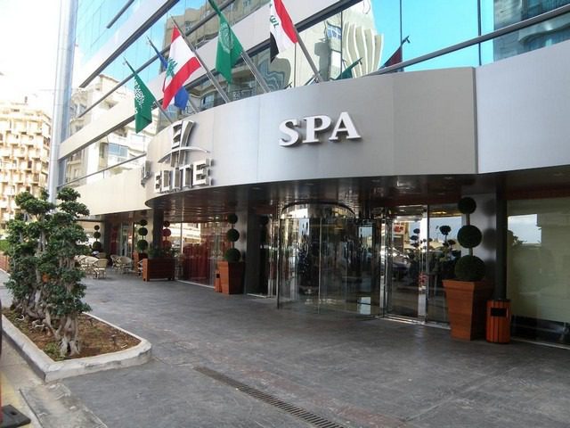
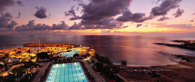
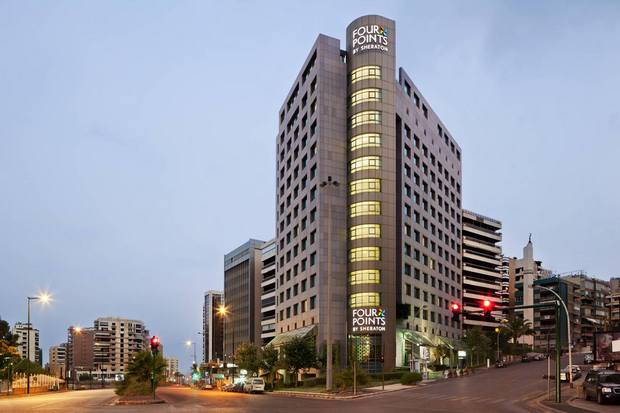
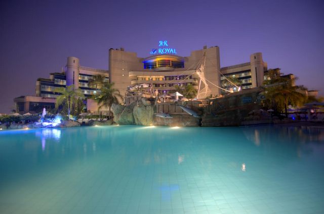
Best hotels in Beirut
In addition to what Beirut contains of tourist attractions and stunning views, it also hosts the largest group of high-end hotels and resorts with wonderful views, as it works to provide all hotel facilities and services for the convenience of visitors, and to know the best of Lebanon’s hotels in Beirut you must visit the following link .. Read more

Where is Beirut located on the map?
Beirut is located in the middle of Lebanon’s coastline in the east of the Mediterranean Sea, bordered by the West Lebanon Mountain Range in the east, with a total area of 85 km2 and a population of 938,940 people in which most vital facilities such as industry and trade are concentrated.
The distance between Beirut and the most important cities of Lebanon
During the following lines, we will accompany you on a quick tour to know the distances between each city and the other from the capital Beirut, accompanied by maps showing the fastest path and available means of transportation.
Where is Beirut located from Baalbek?
The distance from Beirut to Baalbek is about 90.9 km, and you can travel via the Zahle-Baalbek-Highway and the Beirut-Damascus International Highway by car and you will arrive within an hour and 50 minutes only.
How far is Beirut from Byblos Lebanon
Beirut city from Byblos, Lebanon, according to Google Maps estimates, by about 37.6 km, and it is possible to travel by car to reach within 58 minutes via the fastest route to the coastal highway.
What is the distance between Beirut and Jounieh
The distance between the two cities is estimated at 19.9 km, which means that you can travel within twenty minutes using the car via the Jounieh – Beirut highway, the coastal highway and the 51m track, and it is the fastest route in normal traffic.
Where is the city of Beirut located from Tripoli, Lebanon?
The distance from Beirut to Tripoli is estimated at 3213 km, and when you travel by car it will take a time of 40 hours via the international coastal road, and you can travel the distance by plane via Libyan Airlines and Royal Jordanian Airlines or Egypt Air to arrive within 9 hours.
How far is Beirut from Zahle?
Beirut is about 53.6 km from Zahle, approximately 1 hour and 18 minutes, by car via the fastest route via the Beirut – Damascus International Highway, as shown in the attached map.
Where is Beirut located from Sidon?
The distance between Beirut and the city of Sidon is estimated at 43.7 km, which is equivalent to 55 minutes traveling by car when taking the fastest route shown on the map below.
After we have completed the detailed presentation on where Beirut is located and how far it is from the most important cities near it, you can visit the most famous tourist attractions in Beirut that narrate the ancient history of Beirut and enjoy the charming nature and wonderful pavilion.