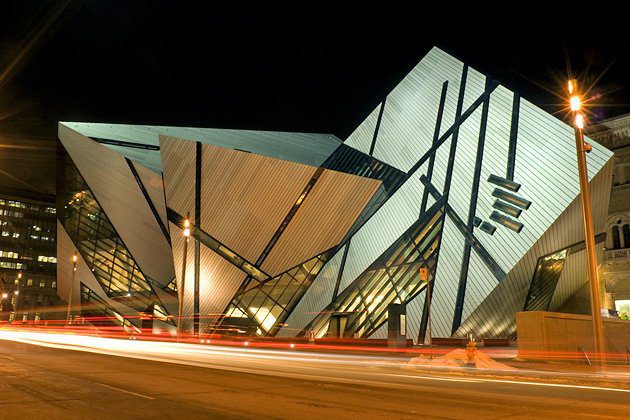
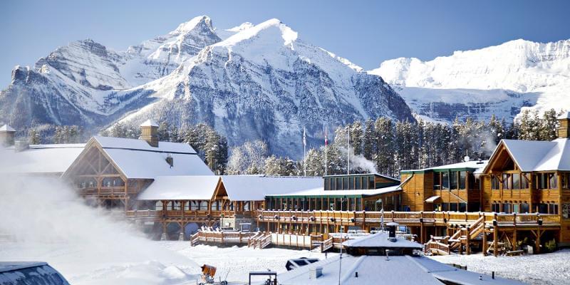
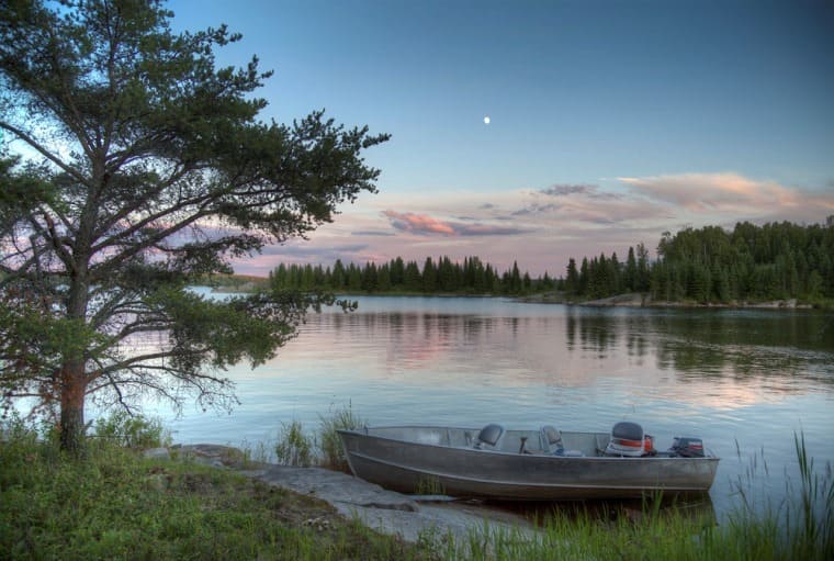
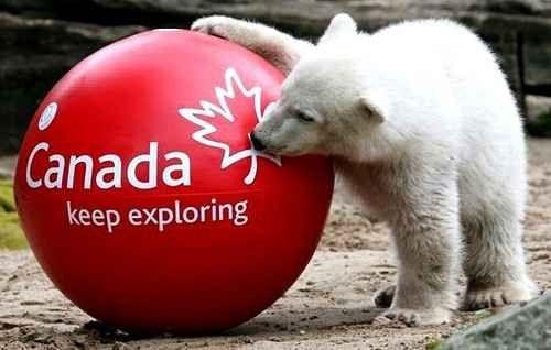
Tourism in Canada represents a unique and unprecedented life experience, so that the Canadian country’s location on the global tourist programs is diversified with goals and areas, as it possesses the most beautiful nature such as waterfalls and soft beaches, and the most ancient and historical monuments such as its dated museums, and the most recent of which is modern such as malls, restaurants and cabarets, and artistic and sports Freshest and most famous, such as festivals, carnivals and annual competitions, in addition to most of the country’s lands turning to skiing fields in winter, in short, Canada has not executed one of the tourist patterns, and no province or city in it can be considered other than it Tourist city.
If you intend to travel to Canada, we will be your guide on your trip and answer all your questions about where is Canada located? How can the travel visa be obtained and the distances between the most important cities in it?

Table of Contents
- Top hotels in Canada
- Where is Canada located on the map?
- How to travel to Canada
- Where is Canada located and the distances between the most important cities of Canada
- Where is your lead from La Combe?
- Where is Fort Saskatchewan from Edmonton located?
- Where is Toronto from Ottawa?
- How far is Vancouver from Grand Prairie?
- Where is Medicine Hat located from Red Dier?
- The distance between Montreal and Richmond
- The distance between Alberta and Saskatchewan
- Where is Airdry from Brooks located?
- Where is Lloydminster located in Calgary?
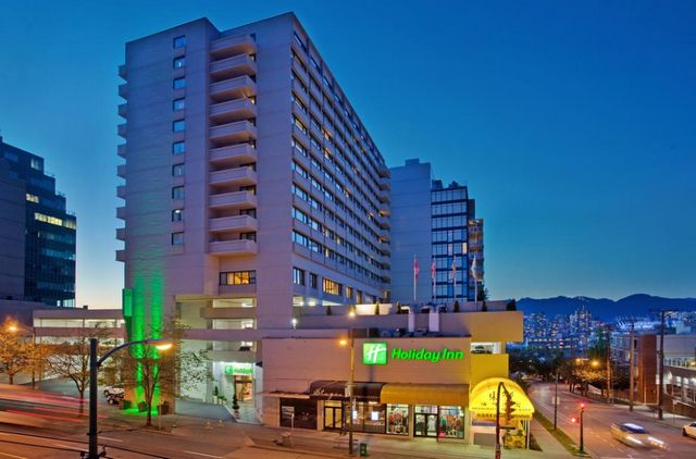
Top hotels in Canada
Canada’s hotels and similar resorts from resorts and hostels combine a pure Canadian spirit mixed with a luxurious modern spirit, to make for any pleasure and luster in any of the other hotels in other countries, as well as the multiplicity of levels to suit all the purchasing power of visitors without compromising the quality of service and the luxury of facilities, while Below we will display a list of the best hotels in Canada, according to the opinions and opinions of Arab visitors .. Read more
Where is Canada located on the map?
Canada is located in the far north of the North American continent, to represent from the area the second largest country in the world. It is bounded by the United States of America from the south, from the north by the Arctic Ocean, to the east by the Atlantic Ocean, and to the west by the Pacific Ocean.
Below we will display the map of Canada and where Canada is located specifically on Google Maps:
How to travel to Canada
Tourism visas to Canada vary according to two main factors. The first is short-term tourist visas that allow staying on Canadian lands for only six months, while long-term visas exceed this period to a full year, and the second factor is the tourist visa that allows entry and exit to the country for several Times, or that do not permit that entry and exit to the country is limited to one time only, and based on the type of tourist visa chosen, the required documents are determined, as well as the time taken to obtain them.
Where is Canada located and the distances between the most important cities of Canada
After we got to know where Canada is located on the world map, we save you the hassle of searching and offer you through the following paragraphs the distances and the shortest way to reach the centers of Canada cities each other according to Google Maps estimates.
Where is your lead from La Combe?
Leduc is 95.1 km from La Combe, equivalent to 59 minutes by car via the fastest route shown on the map, and the duration does not exceed 1 hour and 9 minutes, which is equivalent to 106 km by taking another path.
Where is Fort Saskatchewan from Edmonton located?
Fort Saskatchewan is 37.9 km from Edmonton, the equivalent of 34 minutes’ driving across the fastest route shown on the map, while the duration increases to 3 hours when taking public buses.
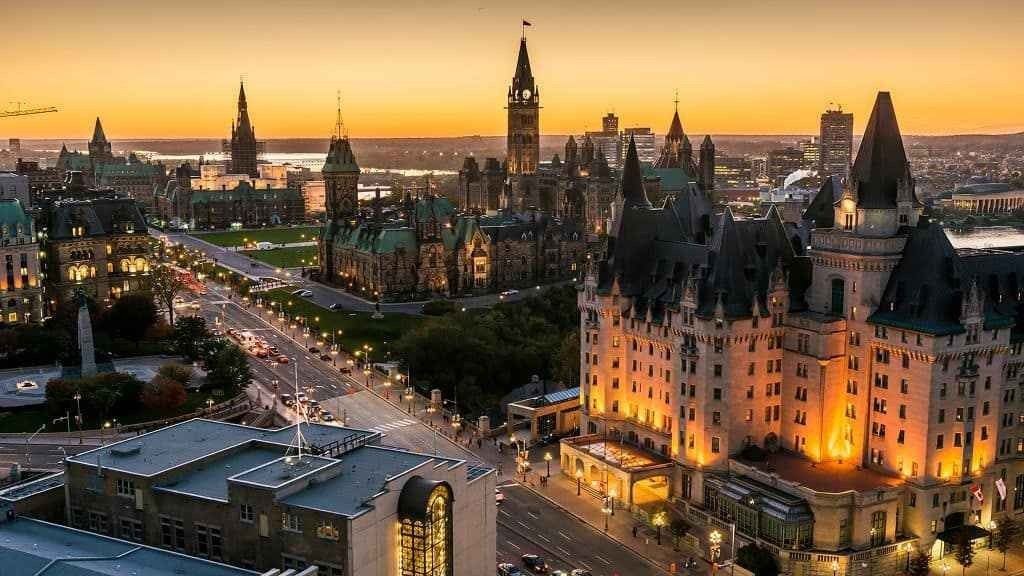
Where is Toronto from Ottawa?
Toronto is 450 kilometers from Ottawa, which equals 4 hour 25 minute drive via the fastest route shown on the map, or 4 hours 33 minutes in case of public buses.
You can shorten the time to one hour when traveling by plane with Air Canada, Porter Airlines, WestJet.
How far is Vancouver from Grand Prairie?
Vancouver is 1,192 kilometers from Grand Prairie, which equates to 12-hour drive travel 49 minutes, while you can travel in no more than 1 hour 30 minutes if you fly by Air Canada WestJet.
Where is Medicine Hat located from Red Dier?
Medicine Hat is 408 km from Red Dair, which equates to 4-hour drive 5 minutes of following the path through the fastest route shown on the map, while the duration only takes a few minutes by taking one of the other paths to reach 4 hours 16 minutes is equal to 410 km .
The distance between Montreal and Richmond
Montreal is 547 km from Richmond, 5 hours 31 minutes’ drive across the fastest route shown on the map.
You can shorten the time to an hour 10 minutes when flying by Air Canada WestJet Airlines.
The distance between Alberta and Saskatchewan
The distance between Alberta and Saskatchewan is about 795 kilometers, which is equivalent to 8 hours ’34 minutes’ drive along the fastest route shown on the map.
Where is Airdry from Brooks located?
Airdrie is 210 km Brooks, equivalent to 2-hour drive 6 minutes across the fastest route shown on the map, while other paths do not exceed driving distance of 239 km, equivalent to 2 hours 48 minutes.
Where is Lloydminster located in Calgary?
Lloydminster is 506 km away in Calgary, which equates to driving 5 hours 2 minutes 12 minutes across the fastest route shown on the map, while other paths do not exceed driving distance of 545 km, equivalent to 5 hours 16 minutes.
If you still have some questions and inquiries about where is Canada located or how to travel to? You can write your inquiry in the comments box below to answer it as soon as possible, and to find out the most beautiful places of tourism in Canada, you can follow us on our website and visit this link .. Read more