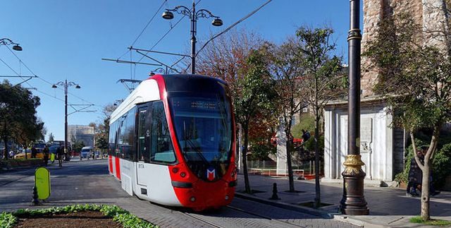
Where is Istanbul located? A question that might come to the minds of many tourists who want to tourism in Turkey, as it is one of the most important tourist destinations in Europe, as it includes many famous landmarks.
Of course, tourists traveling to Istanbul in Istanbul need hotels to stay in during their trip. Fortunately, there are many hotels in Istanbul in terms of features and prices, so what is suitable for all groups, we have collected the best Istanbul hotels in the following article .. Read more
Table of Contents
Where is Istanbul located on the map
Istanbul is located in the Marmara region, in the northwest of the region. One of the most distinguishing features of Istanbul is that it occurs on both continents of Europe and Asia, as it is composed of two parts, East and West, that are separated by the Bosphorus.
But where exactly is the western and eastern city of Istanbul on the map, look at the following map to find out:
The most important cities near Istanbul
After you know where Istanbul is located, let’s now know where Istanbul is in relation to some other famous Turkish cities such as Trabzon, Bursa and Sapanca, the distance between them and how to get there from the city center.
The distance between Istanbul and Trabzon
The distance from Istanbul to Trabzon is about 1069 km. There are three ways to reach it, by land using a private car or taxi and the journey takes 11 hours, the public bus and takes about 19 hours, and by air through domestic flight and takes about half an hour.
The distance between Istanbul and Bursa
The distance between Bursa and Istanbul is 152 km. It can be reached by sea and the distance between Istanbul and Bursa by ship from Yani Kapi area can be reached in about an hour and can be reached by road in three hours.
The distance between Istanbul and Sapanca
Let us know where Istanbul is in relation to Spanga and how far Spanga is from Istanbul. It is located on the Asian side of the capital, and it is only 140 km away from it. It can only be reached by road in 1.5 hours by car.
The distance between Istanbul and Willow
The distance between Istanbul and Yalova is 95 km. The estimated travel time from Istanbul to Yalova by car is about an hour and a half, and 75 minutes by ferry.
For more information about flight times from Istanbul to Yalova by ferry, you can visit the official site of ido ferries ..from here
The distance between Ankara and Istanbul
Many wonder how far is between Ankara and Istanbul, and what are the best ways to travel between them? Istanbul is 450 km from Ankara, and the best way to travel between these two cities is by car and the journey time is approximately 5 hours, or by Turkish domestic flight and the journey time is about an hour.
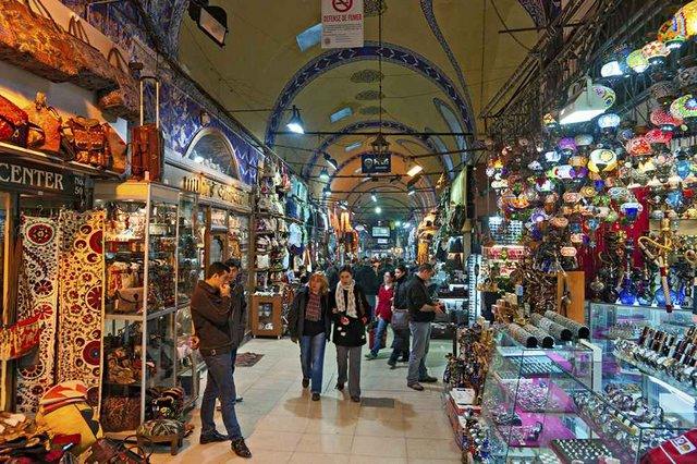
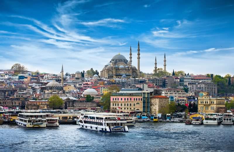
Istanbul has many important tourist attractions, which attract hundreds of thousands of visitors annually from all over the world, such as Hagia Sophia, Sultanahmet Mosque and the Grand Bazaar. We have collected the most important tourist attractions in Istanbul in the following article .. Read more