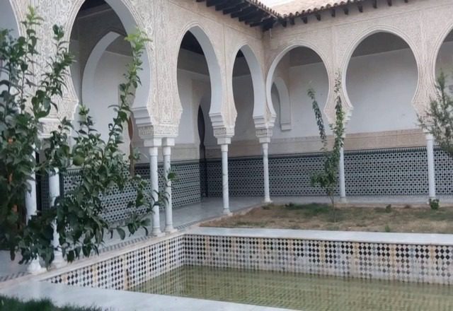
Where is Tlemcen located? How much is the distance between Tlemcen and Algiers? How far is Tlemcen from Oran? One of the most important questions we receive from our dear visitors who wish to tourism in Tlemcen, Algeria. In this report, we will answer those questions and more, but let us know a glimpse of that special city.
Tlemcen, or as the pearl of the Maghreb is known, is one of the most important tourism destinations in Algeria.
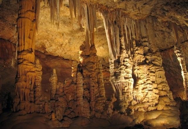
Among the most prominent of these landmarks is the Cave of Bani Aad, which is the second largest cave in the world with a depth of more than 57 meters underground. The beaches of Tlemcen on the Mediterranean are also among the most visited places by tourists and the local population.
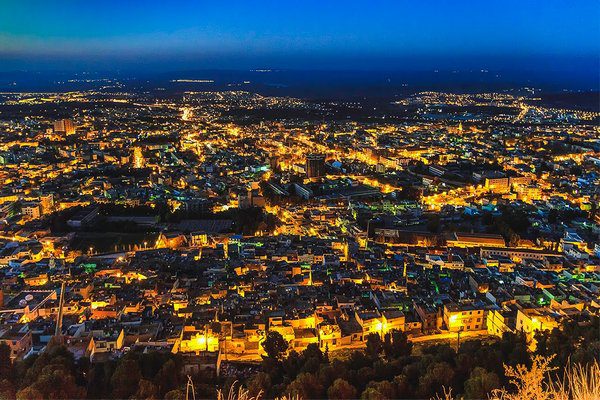
Table of Contents
Best hotels in Tlemcen
Tlemcen includes a large group of the best hotels in Algeria, which may make you confused in choosing the most appropriate and best hotels among them in terms of features and prices, so let us help you with this detailed guide that combines the most important accommodations options in Tlemcen, which are characterized by high-quality services and features in addition to competitive prices. . read more
Where is Tlemcen located on the map:
Tlemcen is located on the coast of the Mediterranean Sea, northwest of the state of Algeria. You can see the map below to find out exactly where Tlemcen is located in Algeria on Google Maps:
The distances between Tlemcen and the most important cities of Algeria:
After we became well acquainted with where Tlemcen is located, let us now know the distances between it and other important cities of Algeria, such as the capital, Oran, and Sidi Bel Abbes, and how to get from them to Tlemcen and vice versa.
The distance between Tlemcen and Algiers
The shortest distance between the capital of Algeria and the city of Tlemcen is about 516 km according to Google Maps, and that distance can be covered in approximately 5 and a half hours by car on the path A1 shown in the following map.
The distance between Tlemcen and Oran
Tlemcen is 173 kilometers away from Oran, and one of the two destinations can be reached in two hours, only 10 minutes by car on the fastest land route between them and shown on the map below.
The distance between Tlemcen and Sidi Bel Abbes
The distance between Sidi Bel Abbes and Tlemcen is about 92 kilometers according to Google Maps, and that distance can be covered in approximately one hour by car on the road shown in the following map.
The distance between Tlemcen and Biskra
The shortest distance between the two cities is about 857 km, which is approximately a 10 and a half hour drive by car on Track A1, or 11 and a half and a half hours via indirect flights.
The distance between Tlemcen and Annaba
The distance between the two destinations is 1050 km. It is possible to travel from Annaba to Tlemcen and back in approximately 10 hours and 55 minutes by car on the A1 track or in 10 hours and 5 minutes via indirect flights.
After we got to know together where the city of Tlemcen is located and the most important information about it and how to reach it from the different cities of Algeria, you can see the most important places of tourism in Tlemcen by following the following article … Read more


