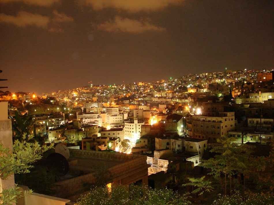
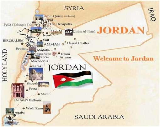
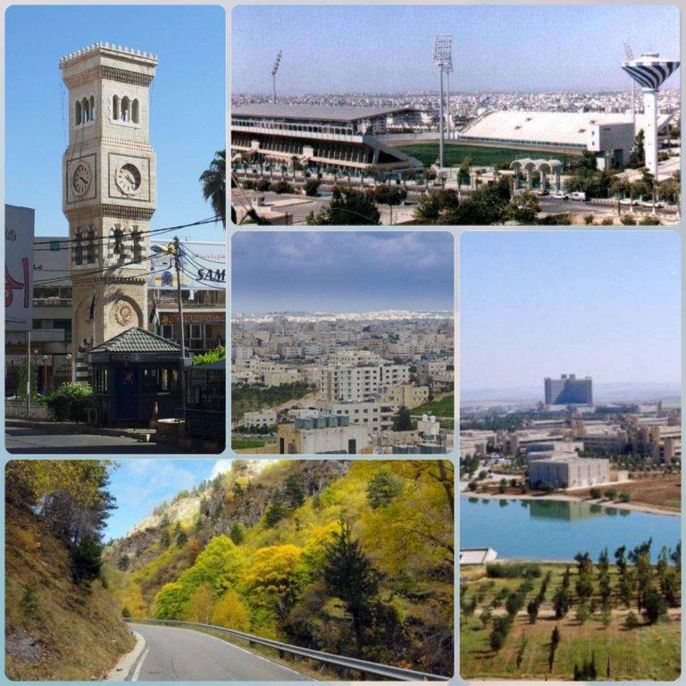
Jordan is bordered to the north by the Syrian Arab Republic, to the south by the Kingdom of Saudi Arabia, to the west by Palestine, and to the east by the Iraqi Arab Republic, Jordan is a small country with an area of about 92,300 km2
Table of Contents
The distance between major cities in Jordan in kilometers and miles
The distance from Ajloun to Ajloun 10 km 6 miles
The distance from Ajloun to Amman 46 km 29 miles
The distance from Amman to Aqaba is 284 km, 176 miles
The distance from Aqaba to Salt is 287 km, 178 miles
The distance from as salt to Tafila is 134 km 83 miles
The distance from Tafila to Balqa 137 km 85 miles
The distance from Balqa to Irbid is 55 km 34 miles
The distance from Irbid to Jerash is 30 km 19 miles
The distance from Jerash to Jerash is one kilometer 1 mile
The distance from Jerash to Karak 124 km is 77 miles
The distance from Karak to Ma’an is 108 km 67 miles
The distance from Ma’an to Madb is 170 km 106 miles
The distance from Madaba to Mafraq is 250 km 155 miles
The distance from Mafraq to Tafilah is 315 km 196 miles
The distance from Tafila to Zarqa is 163 km 101 miles
The distance from Amman, the capital, to the main cities of Jordan, in kilometers
The distance from Amman to Zarqa is 16 km
The distance from Amman to Irbid is 67 km
The distance from Ajloun to Amman is 46 km
The distance from Aqaba to Amman is 284 km
The distance from Amman to Madaba is 30 km
The distance from Amman to Salt is 23 km
The distance from Mafraq to Amman is 50 km
The distance from Amman to Ma’an is 197 km
The distance from Amman to Jerash is 36 km
The distance from Amman to Tafila is 128 km
The distance from the city of Karak to Amman is 90 km
The distances between Amman, the capital, and some major cities in Jordan
The distance between Amman and Zarqa
The calculated distance to fly from Amman to Zarqa is 12 miles, which is 19 km
If you want to go by car, the driving distance between Amman and Zarqa is 24.04 km.
If you ride your car at an average speed of 112 km / h (70 mph), the travel time will be 00 hours and 12 minutes.
The difference between flying and going by car is 5 km
The distance between Amman and Irbid
The calculated distance to fly from Amman to Irbid is 42 miles, equivalent to 67 km.
If you want to go by car, the driving distance between Amman and Irbid is 92.4 km.
If you ride your car at an average speed of 112 km per hour (70 mph), the travel time will be 00 hours and 49 minutes.
The difference between flying and going by car is 25 km
The distance between Ajloun and Amman
The calculated flight distance from Ajloun to Amman is 28 miles equal to 46 km
If you want to go by car, the driving distance between Ajloun and Amman is 79.2 km away.
If you ride your car at an average speed of 112 km / h (70 mph), the travel time will be 00 hours and 42 minutes.
The difference between flying and going by car is 33 km
The distance between Aqaba and Amman
The calculated flight distance from Aqaba to Amman is 177 miles or 284 km
If you want to go by car, the driving distance between Aqaba and Amman is 336.22 km.
If you ride your car at an average speed of 112 kilometers per hour (70 mph), the travel time will be 03 hours 00 minutes.
The difference between flying and going by car is 52 km